Washington Trails Association Stats
Round-trip - 9.2 miles
Elevation gain - 2,840 feet
Highest Point - 5,200 feet
Drive form Everett - 1:30
First Hike 6/27/25
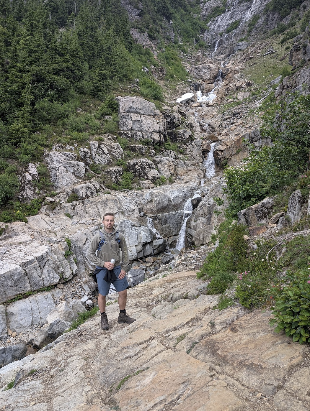
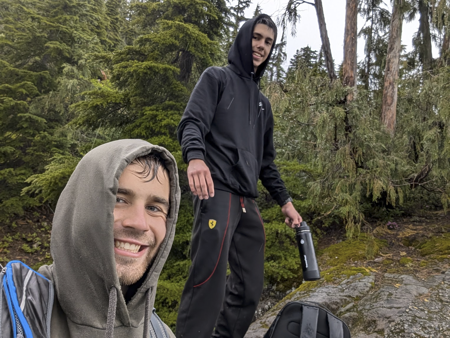
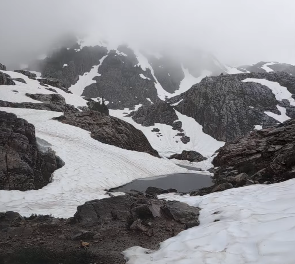
This hike was something; it started well, but then the huge elevation climb killed our legs. But wait, it gets better. The last mile to the lake had snow, and we needed to take some sketchy routes. We also had one pair of ice spikes, so we had to share them. Michel and I put one on our right shoes and continued forth.
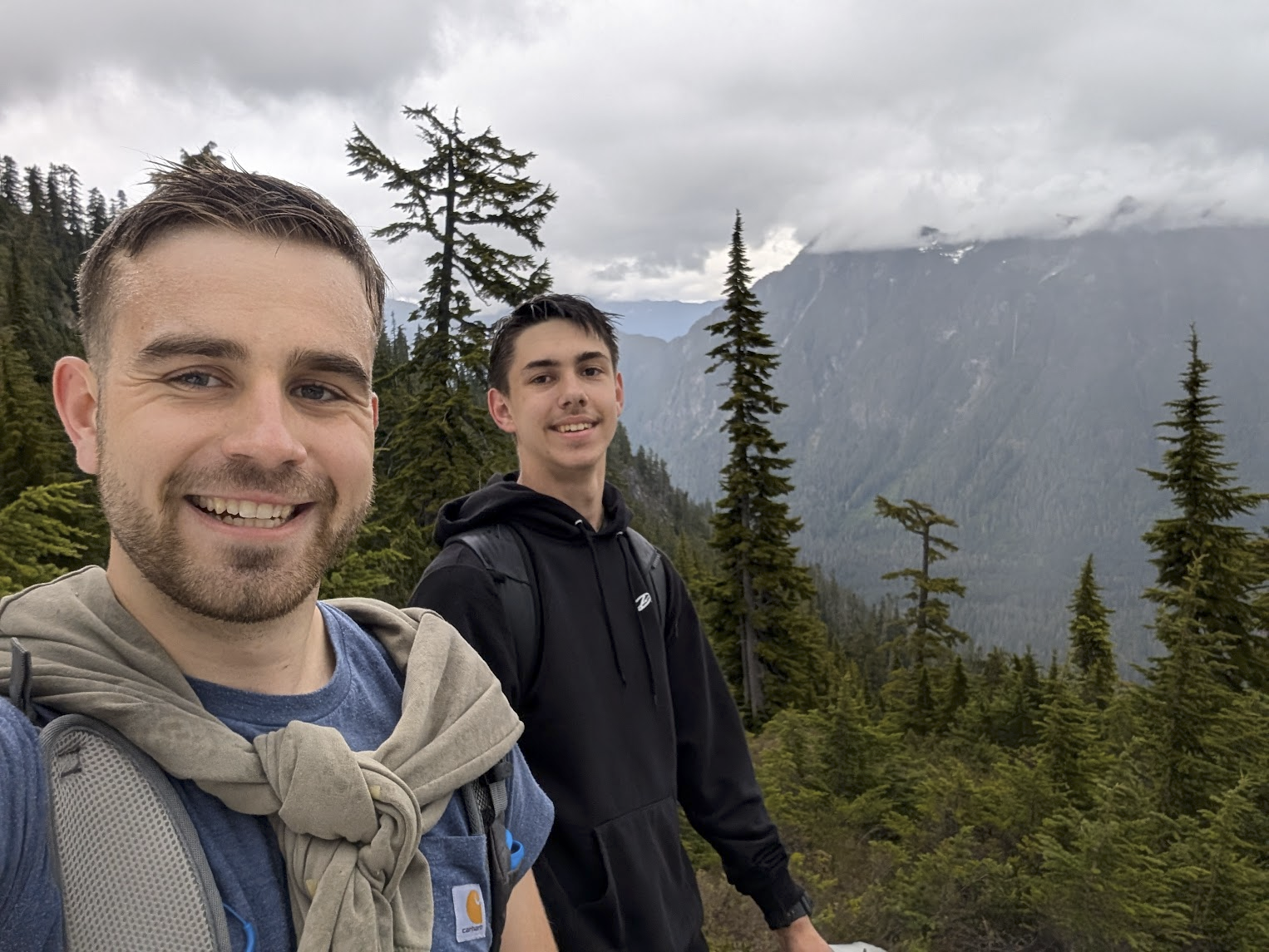
Near the end, we were walking more on the snow than dirt, and I decided to fly my drone. The best part: I found the path forward to the lake, but my connection cut out and I lost the drone. Michel and I had to continue the trail forward to the very end in order to find where I crash-landed.
If it were not for that drone, I would not have been sure if we would have finished the hike. It was raining pretty badly, the wind was blowing, and there were cliffs off of the mountain. It would have been much better if we had raincoats and spikes for both our feet, but we forged forth.
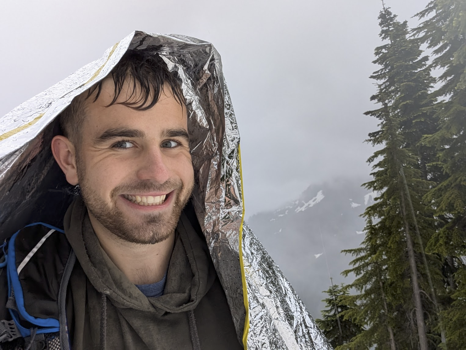
When we got to the lake, we needed to bring out the emergency blanket for rain cover, and we desperately reviewed the last footage to find the crash landing location. Long story short, we found the drone about 300 feet away from the spot where connection was lost, and it was difficult to spot in the snow. It was completely covered, and we only found it on a hunch.
On our way back, we were so hyped! We found the drone, completed the hike, against all odds. We also decided to dip our heads in the ice water just to make sure we would remember this experience. 10/10 would not do again, only without the rain and near-death experience :)
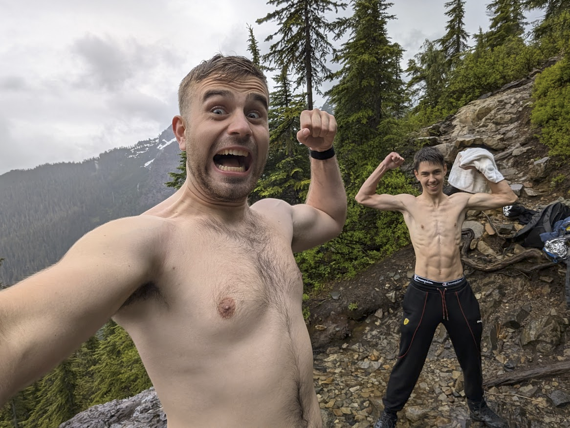
Photo before plunging into the water
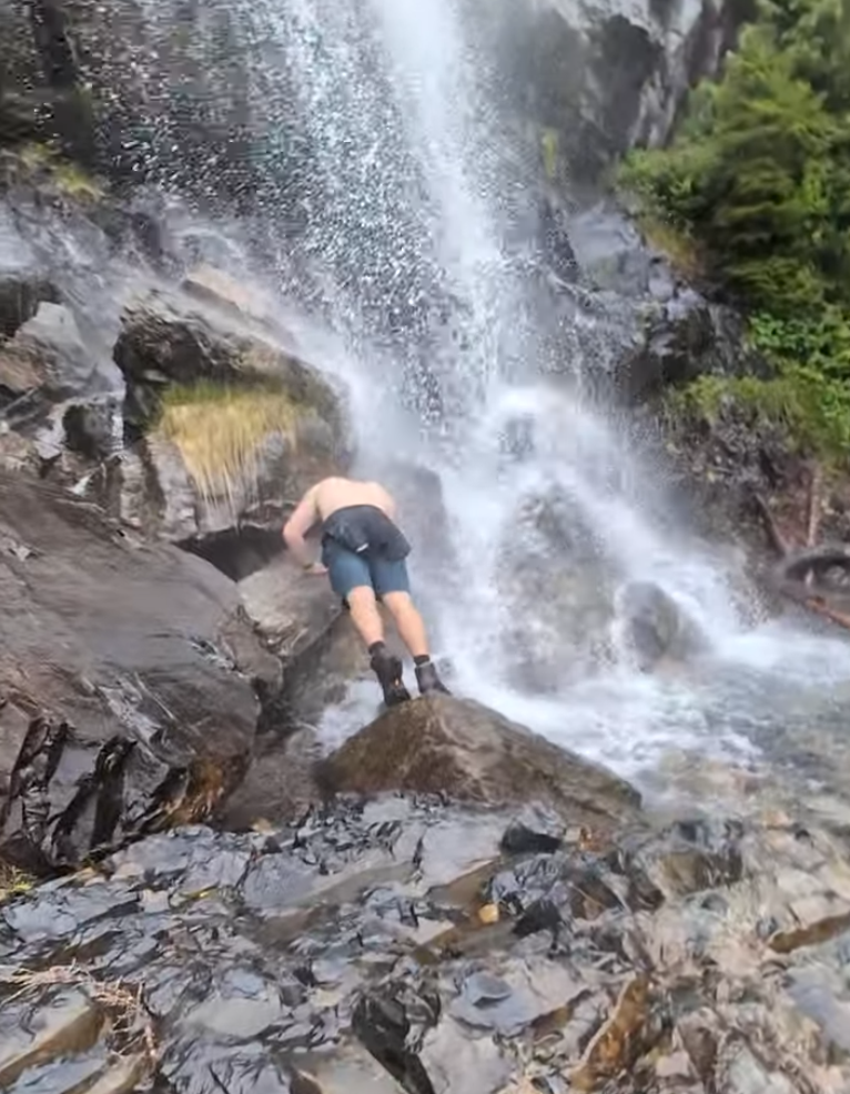
Photo of me in the waterfall (it was freezing)

Snacks :)
Garmin Stats 10.47 mi
3,470.5 ft
Ascent
7:00
Time